The far-west address shapes the rhythm of daily life here. Groceries mean a short drive — to the Real Canadian Superstore or Safeway over in Signal Hill , or the Blush Lane Organic Market in Aspen Woods for specialty items. The neighbourhood itself is quiet and residential: houses set back on generous lots, driveways filling by early evening. Transit runs to downtown, but most households run two cars.
Weekends tend to orbit the recreation infrastructure nearby — Ernest Manning Athletic Park in Springbank Hill draws the youth sports crowd, and the Westside Recreation Centre in Signal Hill covers pool, gym, and ice time year-round.
496 trees per 1,000
498 city avg
8 parks
More details 2,083 public trees
59 species
55.8% avg condition
Top Species ASPEN, QUAKING/TREMBLING (700) SPRUCE, WHITE (230) ELM, AMERICAN (197) CHOKECHERRY, SCHUBERT (188) ELM, BRANDON (109) 8 Parks SUBNEIGHBOURHOOD PARK: 4 COMMUNITY PARK: 2 DISTRICT PARK: 1 REGIONAL PARK: 1
Natural Areas 1 special protection environment, 2 supporting natural environments
Avg Fraser: 6.7/10 (2 rated)
Designated Schools
Schools your address is assigned to attend
St. Michael School CSSD Elementary/Junior High Fraser: 5.8/10
French Immersion Late French Immersion
Bishop Carroll High School CSSD Senior High
Advanced Placement Alternative Learning Dual-Credit Fine Arts Hockey Canada Skills Academy Instrumental Music Strings Off-Campus Education Self-Directed Learning
Verify your designated school: CBE · CSSD
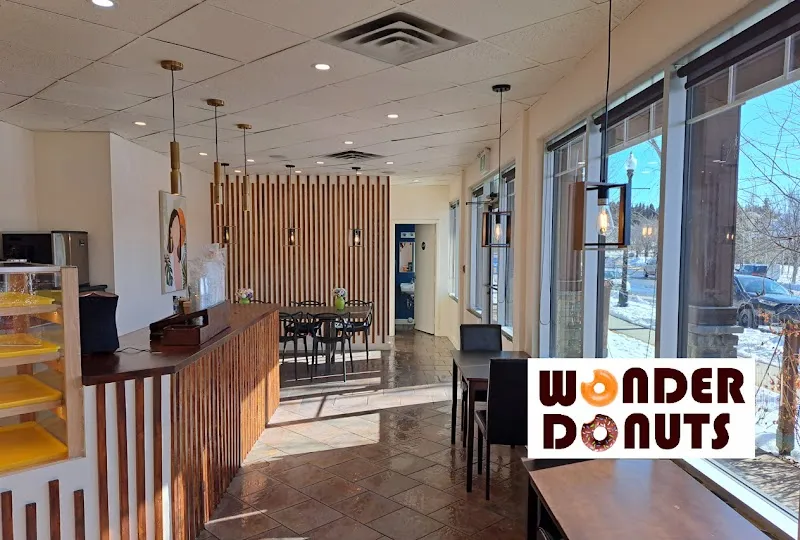
Wonder Donuts
Show all 2 Discovery Ridge Pharmacy and Travel Clinic
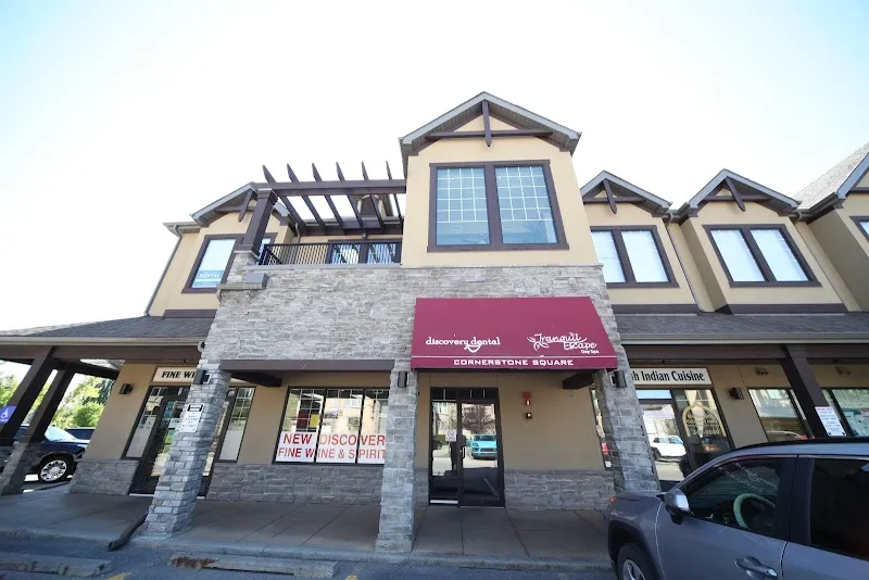
Show all 2 Discovery Dental Centre
Show all 2 $920,300 avg assessed
$717,869 city avg
More details Community Assessed Values Detached $1,228,758
959 units Semi-Detached $783,312
48 units Apartment $405,602
500 units West District Benchmarks2026-03-01 Detached $997,400 ▲+0.5% yoy
Semi-Detached $832,300 ▲+1.2% yoy
Apartment $323,800 ▼-9.2% yoy
View West District Details → 7.9x price-to-income
11.2x city avg
$2,938 avg rent
More details Avg Home Value $920,300
Avg Income $117,015
A home costs 7.9x the average income (city avg: 11.2x). More affordable than the city average.
Avg Monthly Rent $2,938 6 listings
City Avg Rent $1,788 Above average
Average rent is 30% of household income. Within the 30% affordability threshold.
13 permits (12mo)
6 active licenses
More details residential Dining: 3 Retail: 1
Active Licenses 6 City avg: 83
Building Permits (12mo) 13 ▼38% yoy
City avg: 62 Development Pipeline Units approved: 3 ▼25% yoy
Investment: $965k
2.9 crimes per 1,000
18.7 city avg
More details Crime (Property + Violent) 2.9 per 1,000 ▼-62.5% yoy
City avg: 18.7 Disorder (Non-Criminal) 13.3 per 1,000 0% yoy
City avg: 67.8 Crime Breakdown Property: 50% (6) Violent: 50% (6)
Disorder Breakdown Disturbances: 2 Suspicious: 4 Welfare: 2 Other: 2
8-Quarter Trend Quarterly Crime Trend Quarterly incident counts
Quarterly Disorder Trend Quarterly incident counts
Top 311 Complaints Waste 240 ▲+54.8%
Parks/Trees 186 ▼-18.4%
Infrastructure 182 ▲+6.4%
2.9 stops per 1,000
4.5 city avg
10.8 km to downtown
Route 51 — West Springs/Discovery Ridge
Route 732 — Central Memorial/Glamorgan
More details 12 transit stops
Key Routes Route 51 → West Springs/Discovery Ridge Route 732 → Central Memorial/Glamorgan 10.8 km to downtown Calgary
774 requests (12 months)
Top Categories Waste 240 ▲+54.8%
Parks/Trees 186 ▼-18.4%
Infrastructure 182 ▲+6.4%
Social Stress 55 ▲+57.1%
Snow/Ice 50 ▼-32.4%
Never miss new data
Get the monthly digest delivered to your inbox.
Data Sources
Property Assessments 2026
Calgary Police Service 2025-Q4
311 Service Requests 2026-04
Building Permits 2026-03
Business Licenses 2026-04
School Rankings 2025
CREB District Sales 2026-03-01
Census Population 2021
Public Trees 2026-04-02
How we calculate these metrics →