Mayland Heights
North EastNortheast Calgary
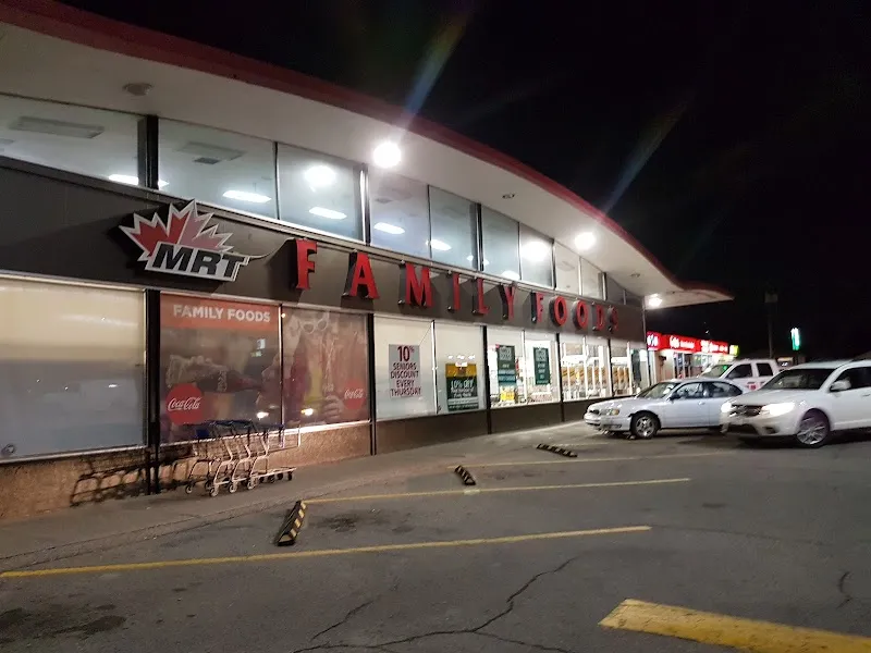
Close to downtown but still residential in scale, Mayland Heights settles into a practical rhythm — MRT Family Foods and Rexall covering the basics, elementary schools spread across the community so that Sir John Franklin School or Belfast School is within walking distance of most households. The off-leash park carries the community's own name — Mayland Heights off-leash — and it's where dogs and their people tend to end up on weekday evenings. The commercial strips lean toward restaurants rather than big-box retail. A local bus route connects to the MAX Orange rapid line, keeping downtown reachable without a car — a practical detail in a neighbourhood where renters and owners mix freely and neither has to drive far to eat well.
Census 2021
The Vibe
Top Species
ASH, GREEN (542)SPRUCE, COLORADO BLUE (311)SPRUCE, COLORADO (305)ELM, AMERICAN (173)POPLAR SPECIES (147)12 Parks
Bike Pathways
Schools your address is assigned to attend
Located here but may serve other attendance areas
Restaurants
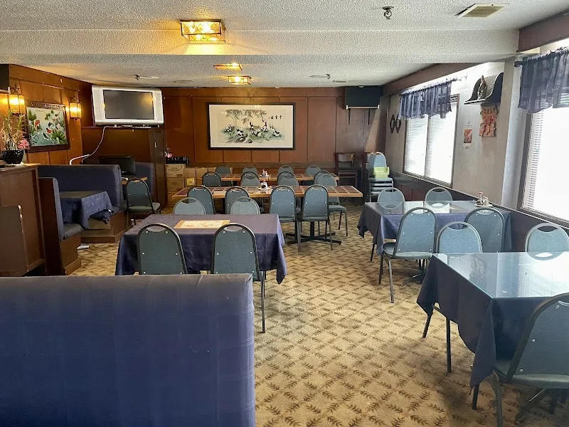
- Bamboo Gardens4.3 ★(305)
- Subway3.5 ★(217)
- Pho 1984.7 ★(40)
Bars & Pubs
- Gally's Neighbourhood Pub4.2 ★(318)
- Twelve Fifty Lounge3.5 ★(64)
Groceries
- Family Foods3.7 ★(533)
Pharmacies
- Rexall3.8 ★(78)
Shopping
- Mayland Shopping Center4 ★(346)
More in the Area
Childcare
Places of Worship
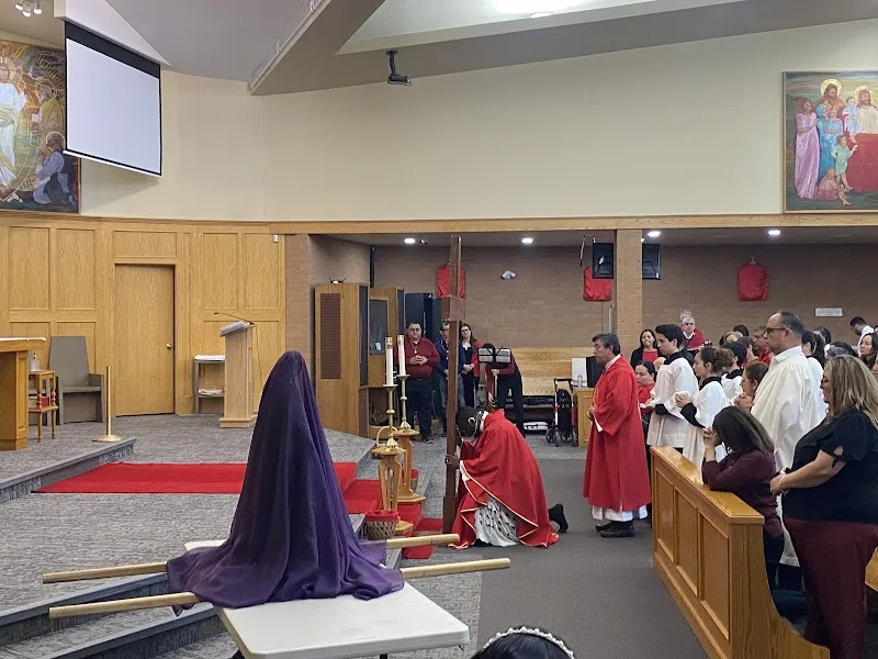
- Mary, Mother of the Redeemer4.7 ★(160)
- Ascension Lutheran Church4.7 ★(25)
- Crossroads Community Church4.1 ★(15)
- St. George's Anglican Church4.1 ★(8)
- RCCG Victory House3 ★(4)
Landmarks
The Economy
Community Assessed Values
North East District Benchmarks2026-03-01
A home costs 11.5x the average income (city avg: 11.2x). Less affordable than the city average.
Average rent is 33% of household income. Above the 30% affordability threshold.
Development Pipeline
Top Business Types
The Infrastructure
Crime Breakdown
Disorder Breakdown
8-Quarter Trend
Quarterly Crime Trend
Quarterly incident counts
Quarterly Disorder Trend
Quarterly incident counts
Top 311 Complaints
Key Routes
- Route 19→
- Route 33→
- Route 303→
- Route 745→
- Route 872→
Bike Infrastructure
Top Categories
24-Month Trend
Never miss new data
Get the monthly digest delivered to your inbox.