Church marquees and school schedules do a lot of the organizing in Abbeydale. Eastside Christian Academy draws families for a full kindergarten-through-graduation program, while Abbeydale School handles the younger grades nearby. Bus routes connect toward Marlborough and out to Memorial Drive. The neighbourhood is mostly owner-occupied, single-family homes on streets that have been established long enough to feel settled.
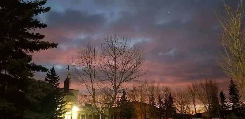
Sunday mornings, Abbeydale Christian Fellowship and Eastside Christian Church both fill their parking lots — faith community is a real organizing force here, and its influence on the week's pace is more noticeable once you're living in it.
299 trees per 1,000
498 city avg
12 parks
More details 1,521 public trees
68 species
57.1% avg condition
Top Species ASH, GREEN (289) SPRUCE, COLORADO (254) ELM, BRANDON (169) OAK, BUR (123) POPLAR SPECIES (87) 12 Parks SUBNEIGHBOURHOOD PARK: 9 COMMUNITY PARK: 1 NEIGHBOURHOOD PARK: 1 REGIONAL PARK: 1
Bike Pathways On-Street Bikeway: 3
Eastside Christian Academy (Other)
Show all 10 Avg Fraser: 4.8/10 (2 rated)
Designated Schools
Schools your address is assigned to attend
Bishop Carroll High School CSSD Senior High
Advanced Placement Alternative Learning Dual-Credit Fine Arts Hockey Canada Skills Academy Instrumental Music Strings Off-Campus Education Self-Directed Learning
Verify your designated school: CBE · CSSD
Also in This Community
Located here but may serve other attendance areas
Eastside Christian Academy Other K-12
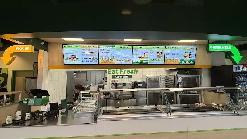
Subway
1 restaurants
1 bars
1 bakeries
Show all 3 Dr. Ibrahim Khan
Show all 1 ZC
Show all 1 CHIEF EXECUTIVE OFFICER PARK
Show all 2 $463,726 avg assessed
$717,869 city avg
More details Community Assessed Values Detached $484,161
1,417 units Semi-Detached $403,744
307 units 10.8x price-to-income
11.2x city avg
$1,508 avg rent
More details Avg Home Value $463,726
Avg Income $42,984
A home costs 10.8x the average income (city avg: 11.2x). More affordable than the city average.
Avg Monthly Rent $1,508 12 listings
City Avg Rent $1,788 Below average
Average rent is 42% of household income. Above the 30% affordability threshold.
2 Bed $1,609 5 listings
3 Bed $1,608 6 listings
27 permits (12mo)
8 active licenses
More details residential Dining: 5 Retail: 2
Active Licenses 8 City avg: 83
Building Permits (12mo) 27 ▼13% yoy
City avg: 62 Development Pipeline Units approved: 8 ▲14% yoy
Investment: $1.1M
14.2 crimes per 1,000
18.7 city avg
More details Crime (Property + Violent) 14.2 per 1,000 ▼-21.7% yoy
City avg: 18.7 Disorder (Non-Criminal) 60.4 per 1,000 ▼-10.5% yoy
City avg: 67.8 Crime Breakdown Property: 56% (40) Violent: 44% (32)
Disorder Breakdown Disturbances: 39 Suspicious: 8 Welfare: 4 Other: 8
8-Quarter Trend Quarterly Crime Trend Quarterly incident counts
Quarterly Disorder Trend Quarterly incident counts
Top 311 Complaints Waste 460 ▲+5.5%
Infrastructure 143 ▼-25.1%
Bylaw 141 ▼-28.4%
4.3 stops per 1,000
4.5 city avg
9.9 km to downtown
Route 42 — Marlborough
Route 49 — Forest Heights
Route 67 — Memorial Dr E
More details 22 transit stops
Key Routes Route 42 → Marlborough Route 49 → Forest Heights Route 67 → Memorial Dr E Route 68 → 68 St E Route 127 → Maryvale/Franklin Industrial Bike Infrastructure 3 pathways
On-Street Bikeway: 3
9.9 km to downtown Calgary
1,087 requests (12 months)
Top Categories Waste 460 ▲+5.5%
Infrastructure 143 ▼-25.1%
Bylaw 141 ▼-28.4%
Parks/Trees 111 ▼-8.3%
Snow/Ice 84 ▼-6.7%
Never miss new data
Get the monthly digest delivered to your inbox.
Data Sources
Property Assessments 2026
Calgary Police Service 2025-Q4
311 Service Requests 2026-04
Building Permits 2026-03
Business Licenses 2026-04
School Rankings 2025
CREB District Sales 2026-03-01
Census Population 2021
Public Trees 2026-04-02
How we calculate these metrics →