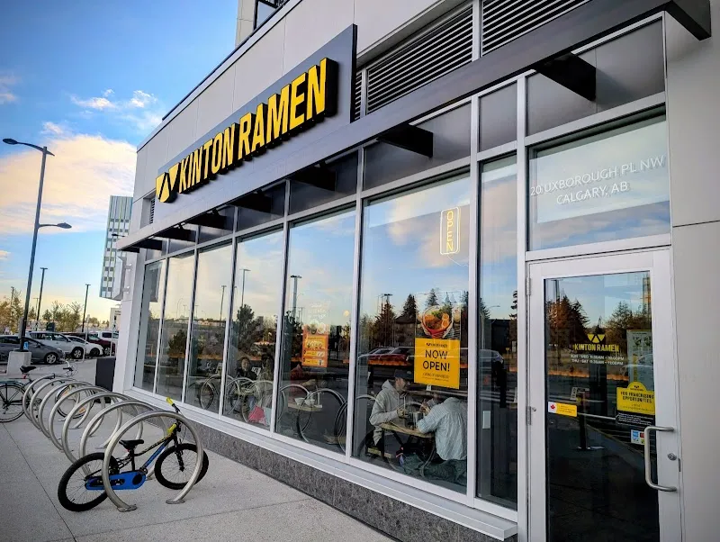
Four bus routes thread through University Heights — connecting to Dalhousie Station to the west and Heritage Station to the south — which means most of the city is reachable without a car. The commercial strips lean toward restaurants rather than retail, shaping what daily life actually looks like: more foot traffic around dinner than mid-morning, more takeout runs than grocery hauls.
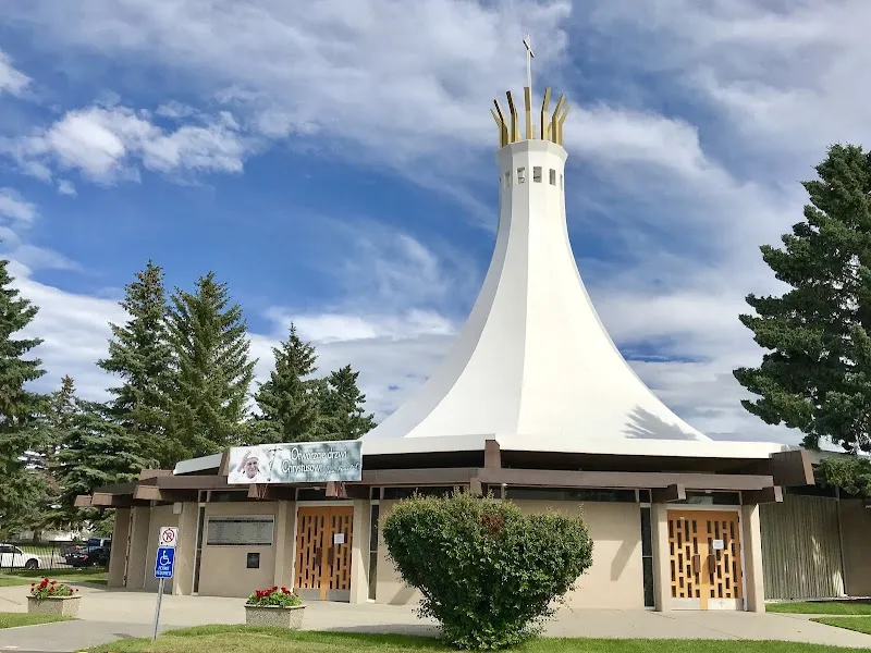
Foothills Mennonite Church and Our Lady Queen of Peace Church both sit close to the main strips, giving the neighbourhood civic anchors alongside its restaurant-forward character. University School draws families into the quieter residential blocks, while the bus routes handle the logistics for everyone else.
988 trees per 1,000
498 city avg
11 parks
More details 1,587 public trees
64 species
58.7% avg condition
Top Species SPRUCE, COLORADO (396) POPLAR SPECIES (165) SPRUCE, WHITE (154) ASH, GREEN (154) POPLAR, NORTHWEST (96) 11 Parks SUBNEIGHBOURHOOD PARK: 10 COMMUNITY PARK: 1
Bike Pathways On-Street Bikeway: 5
Westmount Mid/High School (Other)
Show all 9 Avg Fraser: 6.9/10 (1 rated)
Designated Schools
Schools your address is assigned to attend
St. Francis High School CSSD Senior High
Advanced Placement Dual-Credit Extended French Italian Language and Culture Spanish Bilingual Spanish Bilingual (Gr.10-12)
Bishop Carroll High School CSSD Senior High
Advanced Placement Alternative Learning Dual-Credit Fine Arts Hockey Canada Skills Academy Instrumental Music Strings Off-Campus Education Self-Directed Learning
Verify your designated school: CBE · CSSD
Also in This Community
Located here but may serve other attendance areas
Westmount Mid/High School Other K-12
Samuel Lau
Show all 3 Serge Nikolaienko
Show all 4 $1,060,149 avg assessed
$717,869 city avg
More details Community Assessed Values Detached $1,151,407
428 units Semi-Detached $764,422
32 units Apartment $531,670
56 units 17.0x price-to-income
11.2x city avg
$1,558 avg rent
More details Avg Home Value $1,060,149
Avg Income $62,400
A home costs 17.0x the average income (city avg: 11.2x). Less affordable than the city average.
Avg Monthly Rent $1,558 5 listings
City Avg Rent $1,788 Below average
Average rent is 30% of household income. Within the 30% affordability threshold.
26 permits (12mo)
68 active licenses
More details dining-oriented Dining: 38 Retail: 13 Services: 1
Active Licenses 68 City avg: 83
Building Permits (12mo) 26 ▼42% yoy
City avg: 62 Development Pipeline Units approved: 1 ▼75% yoy
Investment: $13.5M
13.7 crimes per 1,000
18.7 city avg
More details Crime (Property + Violent) 13.7 per 1,000 0% yoy
City avg: 18.7 Disorder (Non-Criminal) 70.9 per 1,000 ▲+56.2% yoy
City avg: 67.8 Crime Breakdown Property: 64% (14) Violent: 36% (8)
Disorder Breakdown Disturbances: 12 Suspicious: 13 Welfare: 4
8-Quarter Trend Quarterly Crime Trend Quarterly incident counts
Quarterly Disorder Trend Quarterly incident counts
Top 311 Complaints Parks/Trees 114 ▼-23%
Waste 108 ▲+30.1%
Infrastructure 102 ▲+4.1%
6.8 stops per 1,000
4.5 city avg
5.1 km to downtown
Route 8 — North Pointe Terminal/Foothills Medical Centre
Route 9 — Dalhousie Station/Chinook Station
Route 19 — 16 Avenue North
More details 11 transit stops
Key Routes Route 8 → North Pointe Terminal/Foothills Medical Centre Route 9 → Dalhousie Station/Chinook Station Route 19 → 16 Avenue North Route 20 → Heritage Station/Northmount Dr N Route 40 → Crowfoot Station/North Hill Bike Infrastructure 5 pathways
On-Street Bikeway: 5
5.1 km to downtown Calgary
469 requests (12 months)
Top Categories Parks/Trees 114 ▼-23%
Waste 108 ▲+30.1%
Infrastructure 102 ▲+4.1%
Snow/Ice 62 ▼-10.1%
Bylaw 46 ▲+7%
Never miss new data
Get the monthly digest delivered to your inbox.
Data Sources
Property Assessments 2026
Calgary Police Service 2025-Q4
311 Service Requests 2026-04
Building Permits 2026-03
Business Licenses 2026-04
School Rankings 2025
CREB District Sales 2026-03-01
Census Population 2021
Public Trees 2026-04-02
How we calculate these metrics →